Functions
Processing bathymetric data and sea floor reflectiveness
GLOBE offers a complete chain of bathymetric data processing modules, from producing the acquired raw data to generating digital elevation models.
The available modules cover the following operations:
- Manual or automatic resetting of sensors, and generating digital elevation models.
- Processing acquisition bias.
- Correcting for tides.
- Managing data (merging, concatenating, etc.).
- Sea floor reflectiveness is processed using the Sonarscope application.
The software is also used by the European project EMODnet Hydrography for manipulating and creating digital elevation models.
Displaying and analysing acoustic “water column” data
Used in conjunction with the Sonarscope application, the acoustic “water column” data processing and visualizing module displays and replays acoustic data acquired by the single and multibeam echo sounders.
The software is also used, via dedicated tools, for marking and classifying points of interest that are identified during analysis sessions.
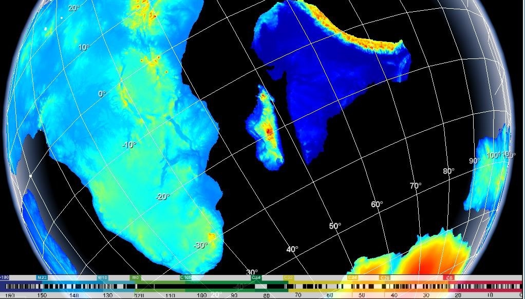
Visualizing and processing plate tectonics on a sphere
The PLACA 4D module enables the user to create kinematic animations of palaeogeographical data in a 4D environment on a moving sphere.
GLOBE also features tools for creating and modifying tectonic plates and their Euler axes. It can also integrate and display data grids (bathymetric, gravimetric, etc.).
Learn more about PLACA4D by clicking on this link:
https://wwz.ifremer.fr/gm_eng/Products-and-services/Logiciels-gratuits/Logiciel-Placa3D
